Swept path analysis
Analyze and forecast how guided, light rail, and flying objects will travel.
Vehicle Tracking offers a collection of tools for transportation design that includes roundabout and parking layout design, as well as vehicle sweeping path prediction for steered vehicles, light rail vehicles, and helicopters.
Analyze how steered vehicles, light rail cars, and airplanes move. Identify the ideal parking arrangement. Look at alternate designs for roundabouts.
Vehicle Tracking is a combination of software tools for planning parking lots and roundabouts as well as predicting the swept paths of guided cars, light rail vehicles, and aircraft.
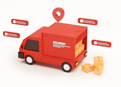
The most popular technology for tracking and routine vehicle monitoring is GPS (Global Positioning System). Using a GPS transceiver to track the present location of the vehicle, the tracking system's goal is to manage and control transportation.
Vehicle Tracking is a tool that civil engineers can use to do swept path analysis and design, construct and amend parking lots, and enhance roundabout design. These civil engineers work on roads, highways, airports, rail, and site planning.
There are essentially three different kinds of vehicle tracking systems on the market today. Each has unique benefits and drawbacks. Cellular, wireless passive, and satellite real-time systems are the names given to these three types of systems.